
Travel Information for Visiting Torotoro National Park
About Torotoro National Park
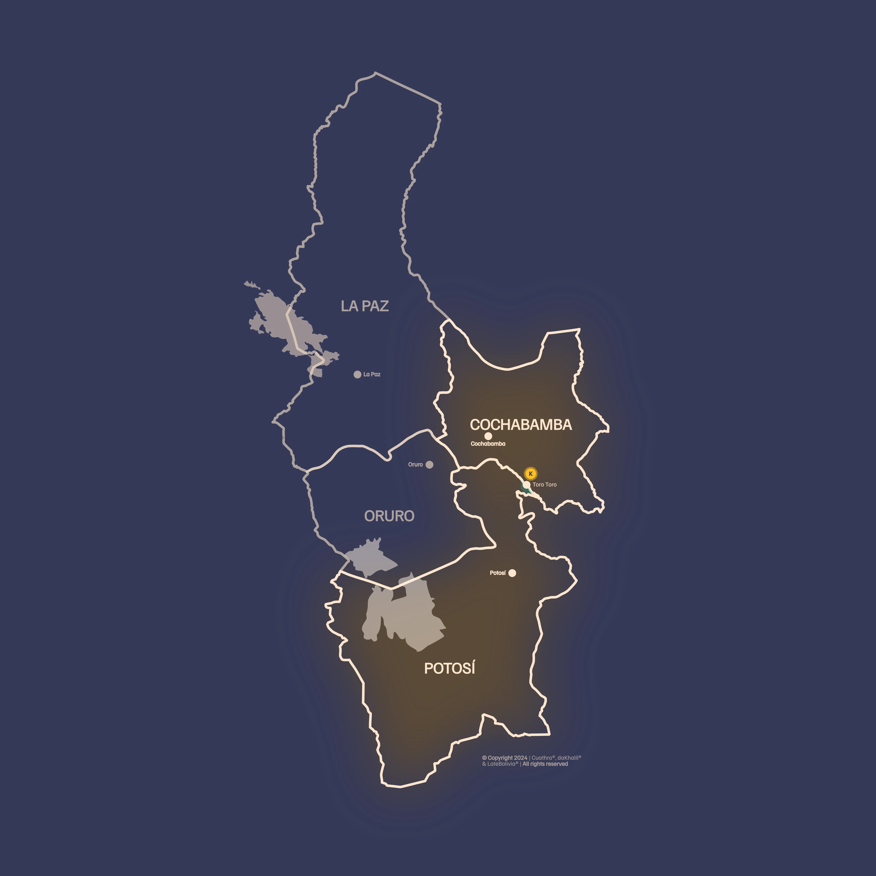
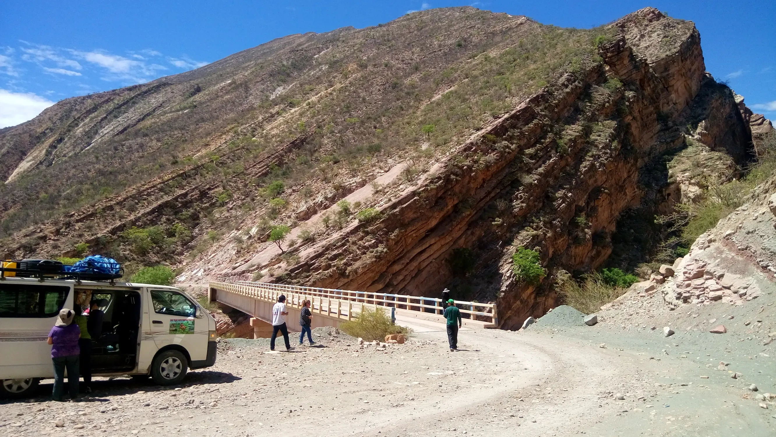
Torotoro National Park is located in the extreme north of the Potosí department, however access to the Park is from the city of Cochabamba, from which it is 138 km away; the journey along the road, which is almost entirely paved, takes approximately 4 hours.
The Park covers an approximate area of 165 km²; within its boundaries there are ten rural communities and the urban population of Torotoro, which serves as the starting point for visits. The area was declared a National Park in 1989, with the objective of preserving its scenic beauty and protecting archaeological, paleontological, and speleological sites, as well as native flora and fauna.
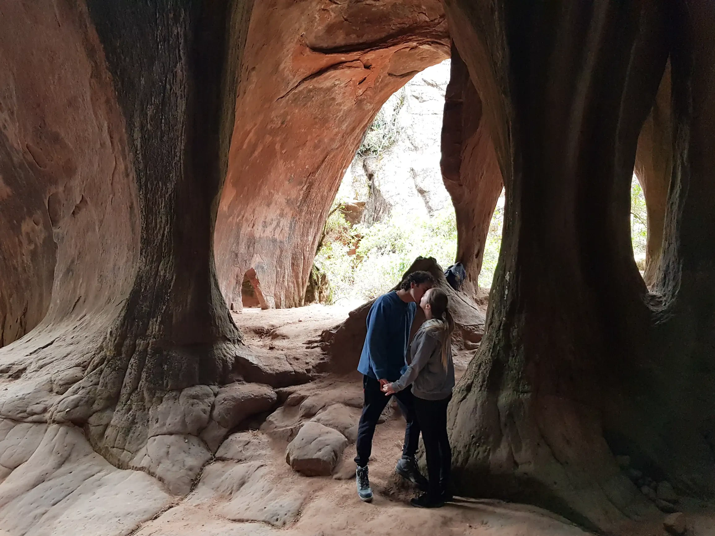
Geologically, Torotoro is situated in the transition zone between the Eastern Cordillera and the Río Grande river basin, at an average altitude of 3 500 m a.s.l., which generates a semi-arid mountain climate with daytime temperatures of 15‑22 °C. The combination of sedimentary rocks, evaporites, and basalts has produced one of the most extensive karst networks in Bolivia: more than 30 caves and galleries such as Chiflonqaqa, Umajalanta, Cueva del Agua, and Cueva de la Virgen, many of them decorated with pre-Columbian rock paintings.
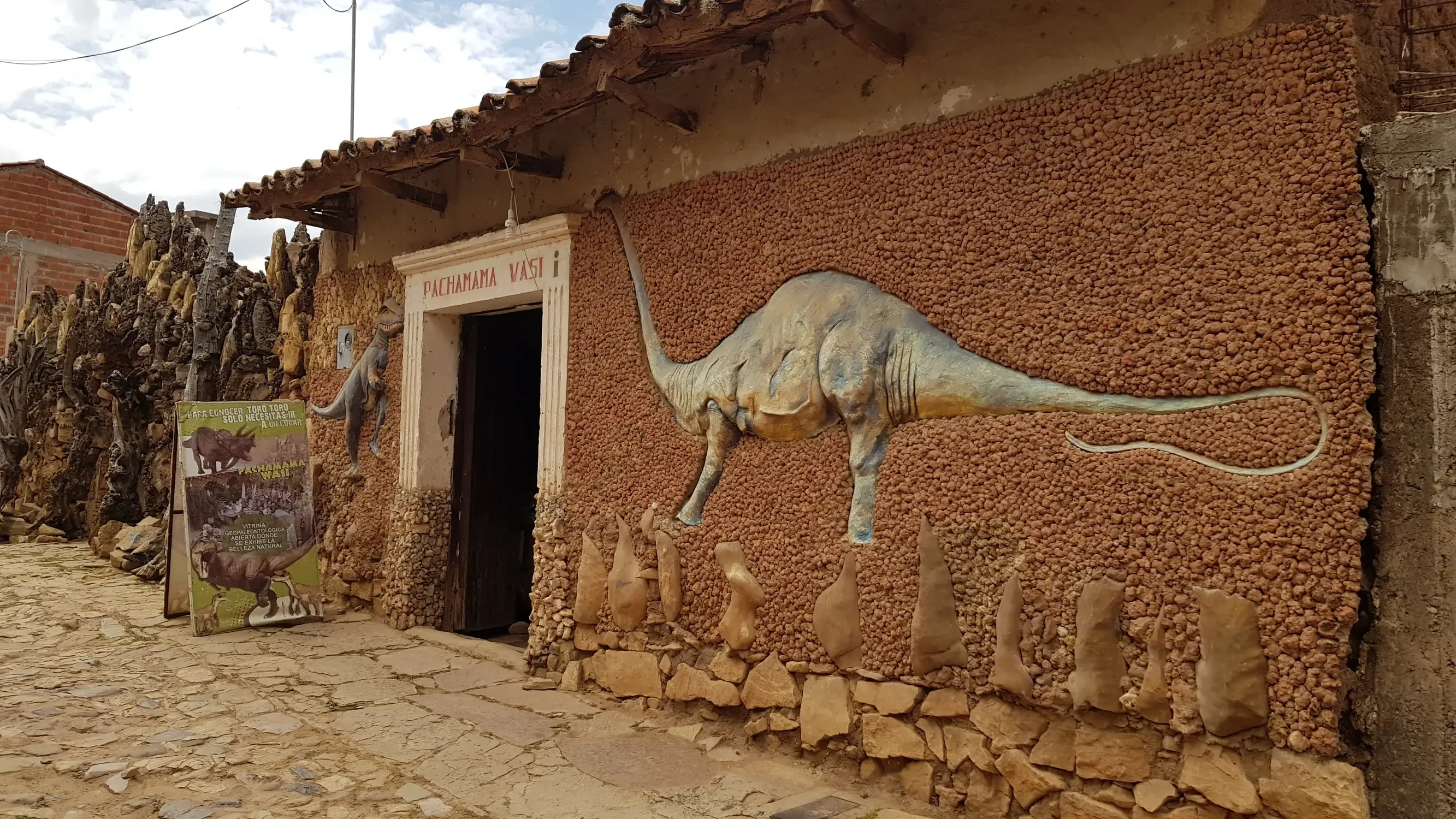
The park also houses one of the most important collections of Cretaceous-era dinosaur footprints in South America, with more than 1 200 tracks recorded in the Vergel and Torotoro Canyon sector, which allow reconstruction of the megaterrestrial fauna that inhabited the region about 70 million years ago. Additionally, the area features spectacular rock formations such as the "Canyon of the Giants" and the "Stone City of Itas".
Tourist Attractions
Data
Management Category
National Park.
Extension
Surface area of 16,570 hectares (165 km²); however, access to Torotoro Park is from the city of Cochabamba (Cochabamba department).
Biogeographical Subregions, Altitudinal Range and Climate
Prepuna, a typically mountainous region with deep canyons, valleys, and waterfalls; the altitudinal range varies between 1,900–3,600 m a.s.l. and the climate is temperate, with precipitation levels below 600 mm, typical of the inter‑Andean dry valleys region.
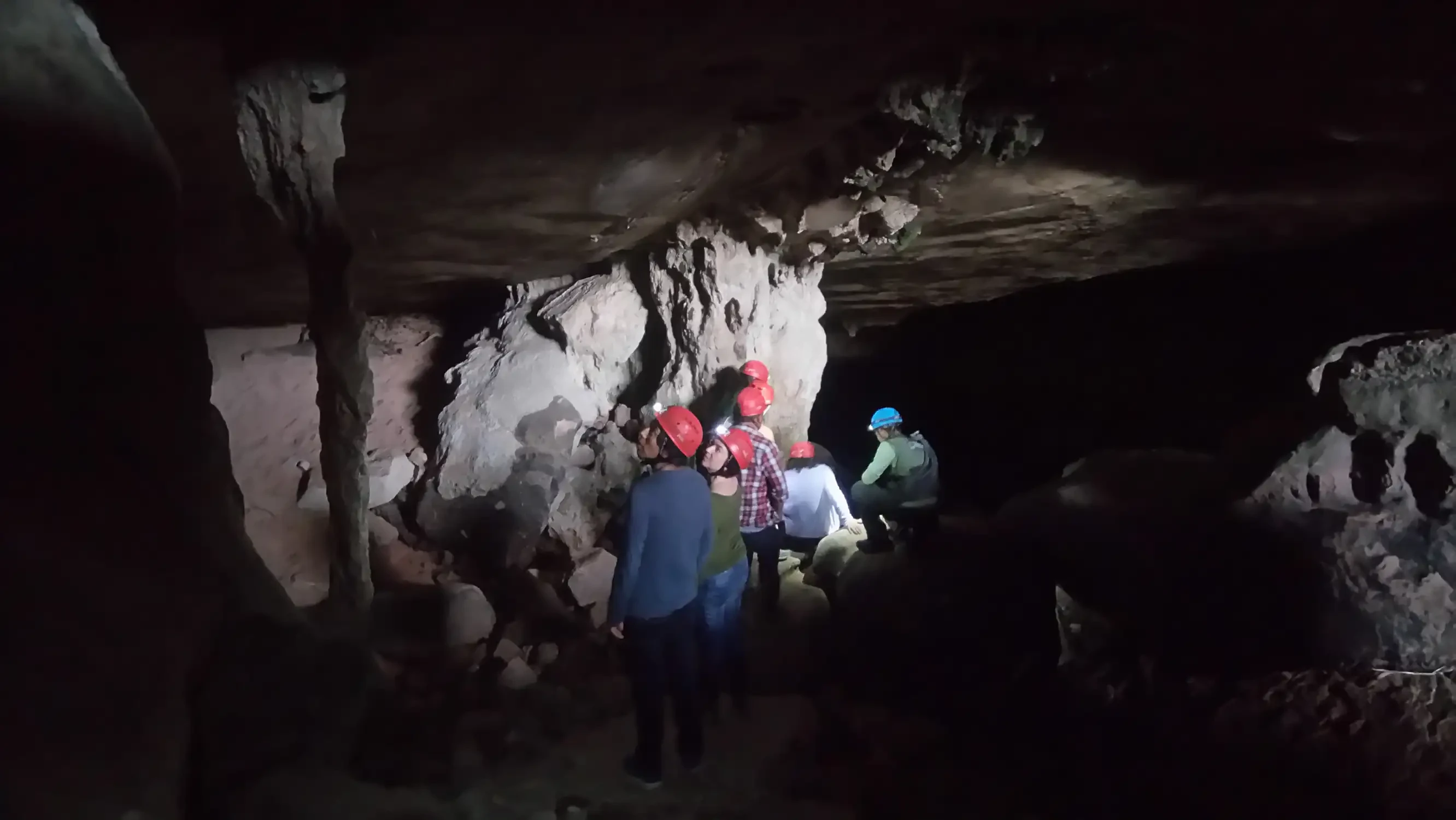
Umajalanta Cave
The Umajalanta Cave is the most extensive and deepest cave in Bolivia, located 8 kilometers from Torotoro, in the community of Huayra K'asa. "Umajalanta" is a word in the Quechua language meaning "the water that gets lost in the depths of the earth." It is formed by large vaults, galleries, and narrow passages.
Inside, there are formations of stalactites and stalagmites, which receive various names such as: weeping willow tree, little Christmas tree, concert hall, the Virgin and Child.
In the largest vault of the route, there is a lagoon or spring where small blind fish live that can be easily observed. Visits are organized with park rangers who are specially trained in these tourist circuits.
Tourism
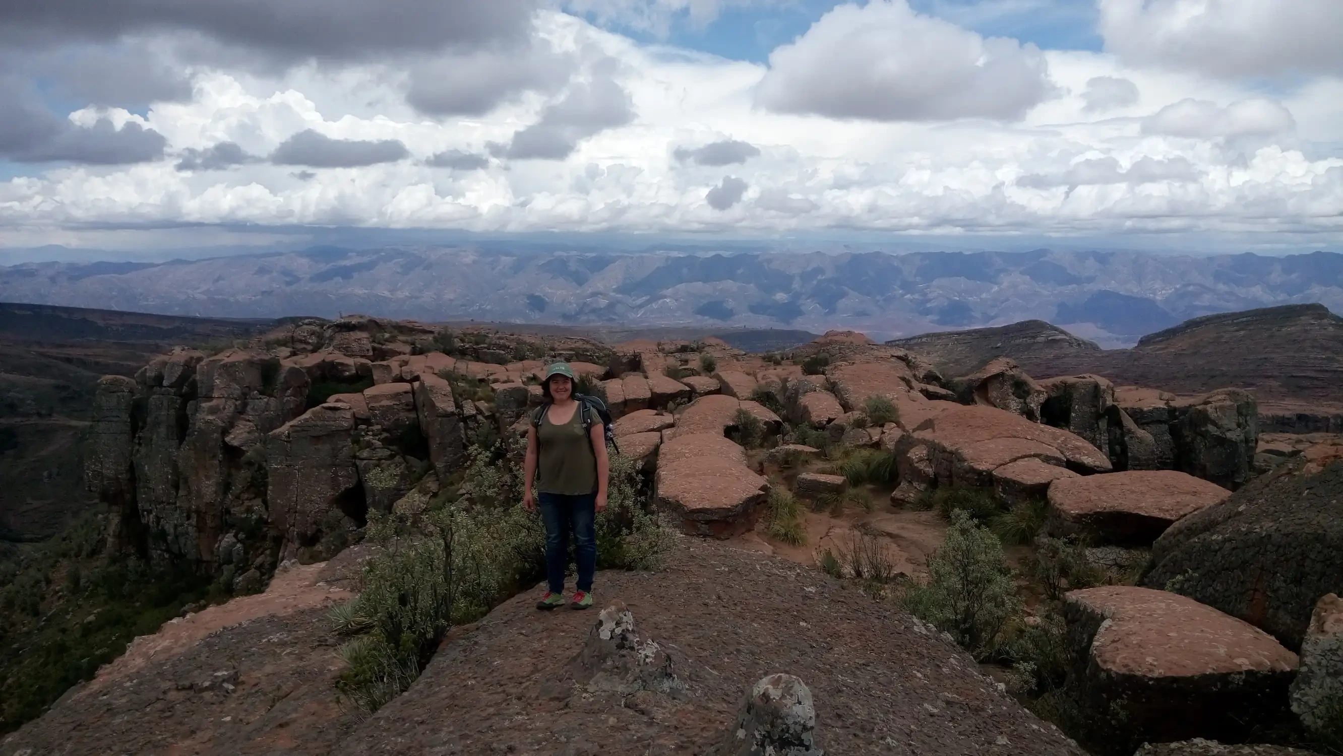
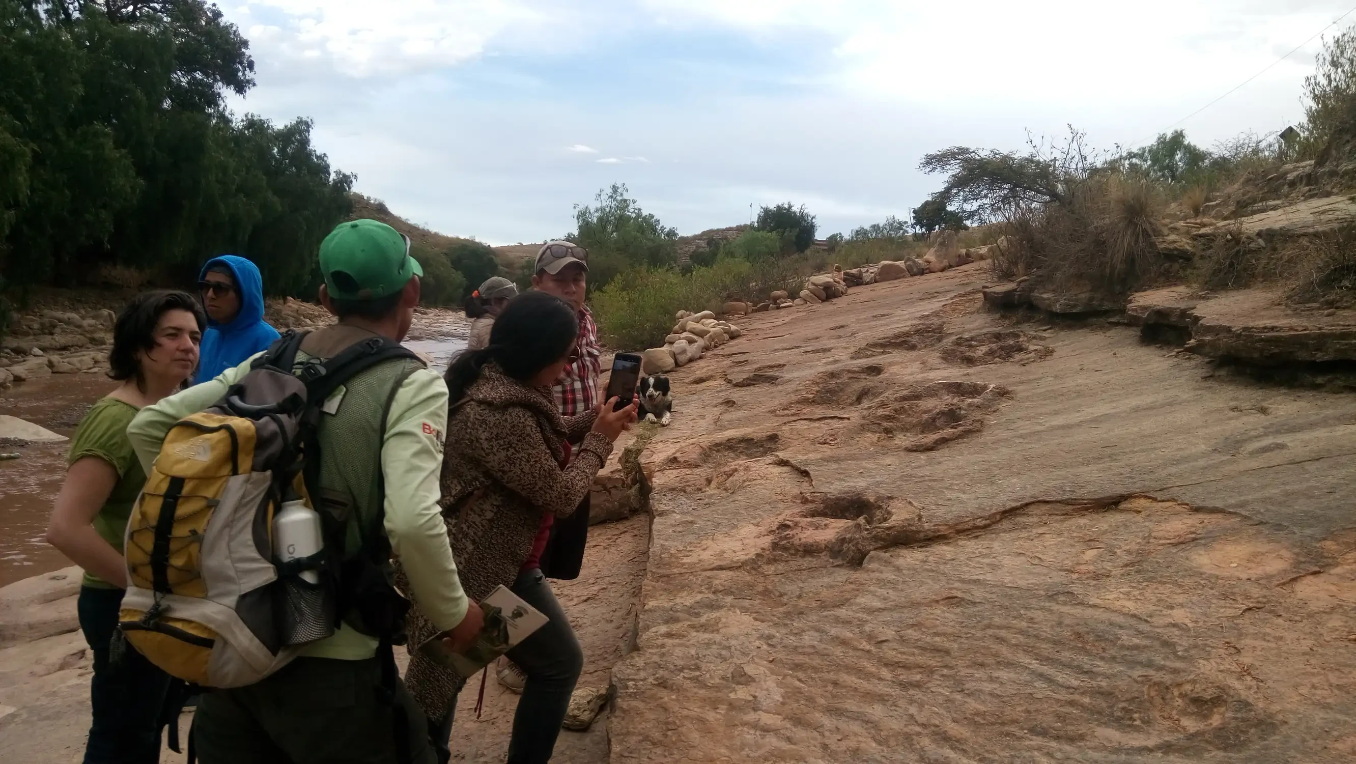
Torotoro National Park, along with Sajama National Park and the Eduardo Avaroa Reserve, has the most impressive landscapes in the country. It contains important geological and geomorphological values such as the extensive Umajalanta and Chiflonqaqa caves and others; there are also dinosaur footprints, areas with abundant fossils, and important Inca ruins and rock paintings. A particular attraction is the impressive Torotoro Valley Canyon, where El Vergel is located. Torotoro is an authentic paradise for geology, paleontology, and speleology lovers, since one can find footprints of large Mesozoic reptiles and deep karst-origin caves. It has an important variety of paleontological specimens in rocks from the Paleozoic, Mesozoic, and probably Cenozoic ages, which are little known except for the Cretaceous dinosaur footprints and Paleozoic invertebrate fossils. These fossils, which belong to remains and impressions of fossilized animals that inhabited the seas and continents, are distributed throughout the entire area of Torotoro National Park.
Fossilized Dinosaur Footprints
The fossilized dinosaur footprints, approximately 130 million years old, belong to theropod or carnivorous dinosaur types and sauropods or brontosaurs, and marine fossils with approximately 350 million years allow us to imagine the richness of these paleontological resources. On the other hand, the pre-Hispanic period of the rock paintings discovered in the area has not yet been established.
The Park houses important speleological values, such as the Umajalanta and Chiflón Qaqa caves; it is important to carry out deeper studies to know the underground network as a whole. The Umajalanta Cave shelters small blind fish (Trichomucterus chaverti) inside, which represent a great scientific attraction in the field of biospeleology.
Wildlife
In the scarce relic fauna of the area, the Taruca (Hippocamelus antiensis), the Titi (Felis jacobita), the globally endemic red-fronted parrot (Ara rubrogenys), the monk parakeet (Myopsitta monachus), the tordo (Oreopsar bolivianus – endemic), and other endemic bird species such as Upucerthia harterti and Satenes heterura stand out.
Vegetation and Flora
Regarding the flora of Torotoro National Park, species such as quebracho (Aspidosperma spp.) and pino de monte (Podocarpus parlatorei) stand out. There are remnants of natural vegetation due to the strong secular human impact, such as patches of podocarpus spp. In the deciduous forest remnant of Llama Chaqui in the highlands, there are remains of quenua shrubs (Polylepis spp.).
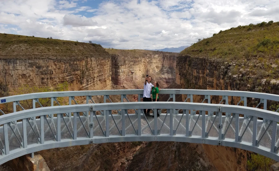
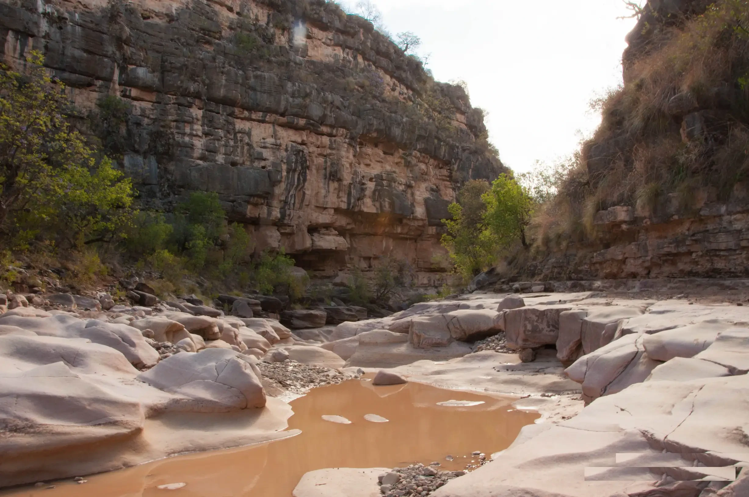
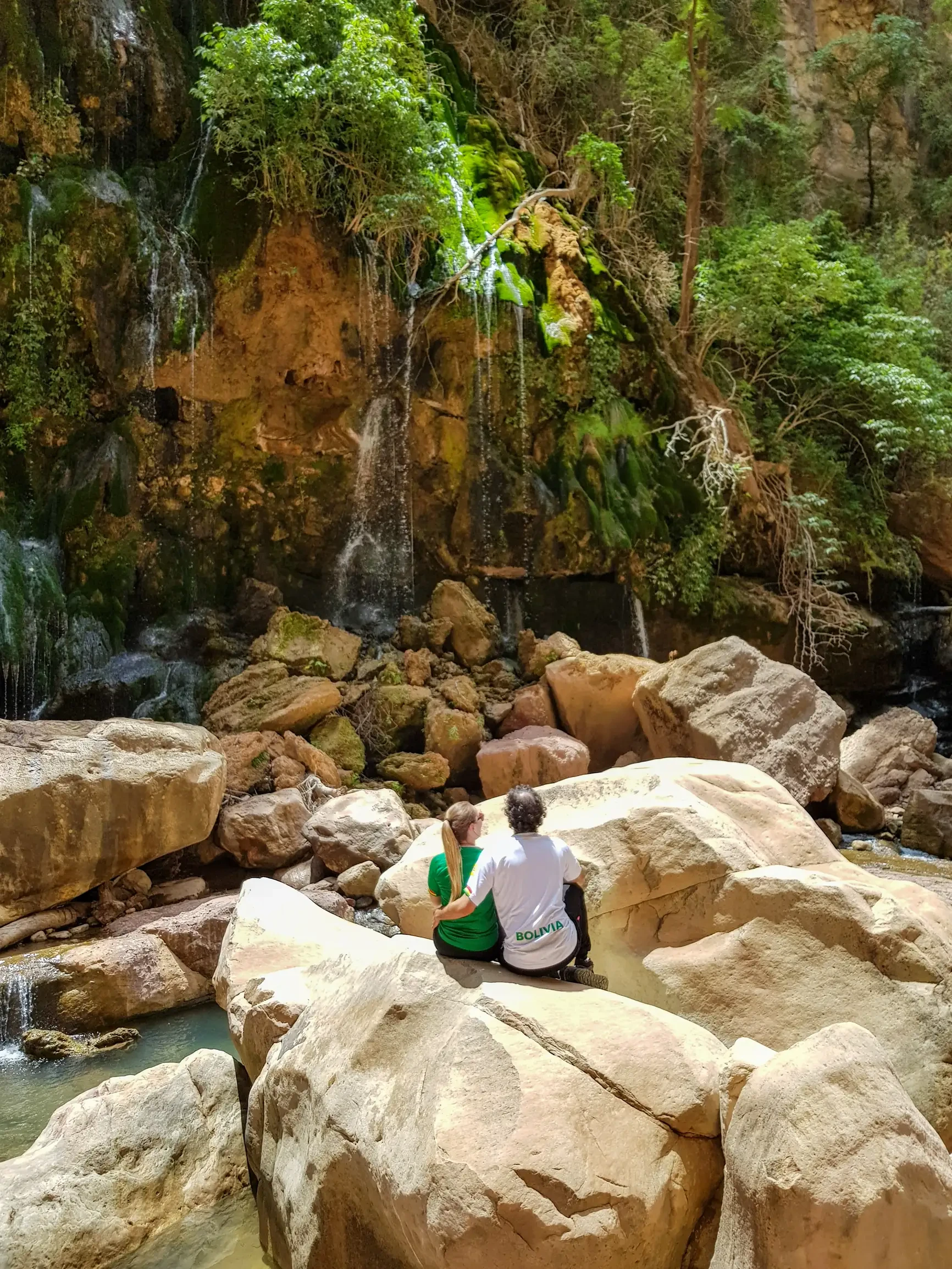
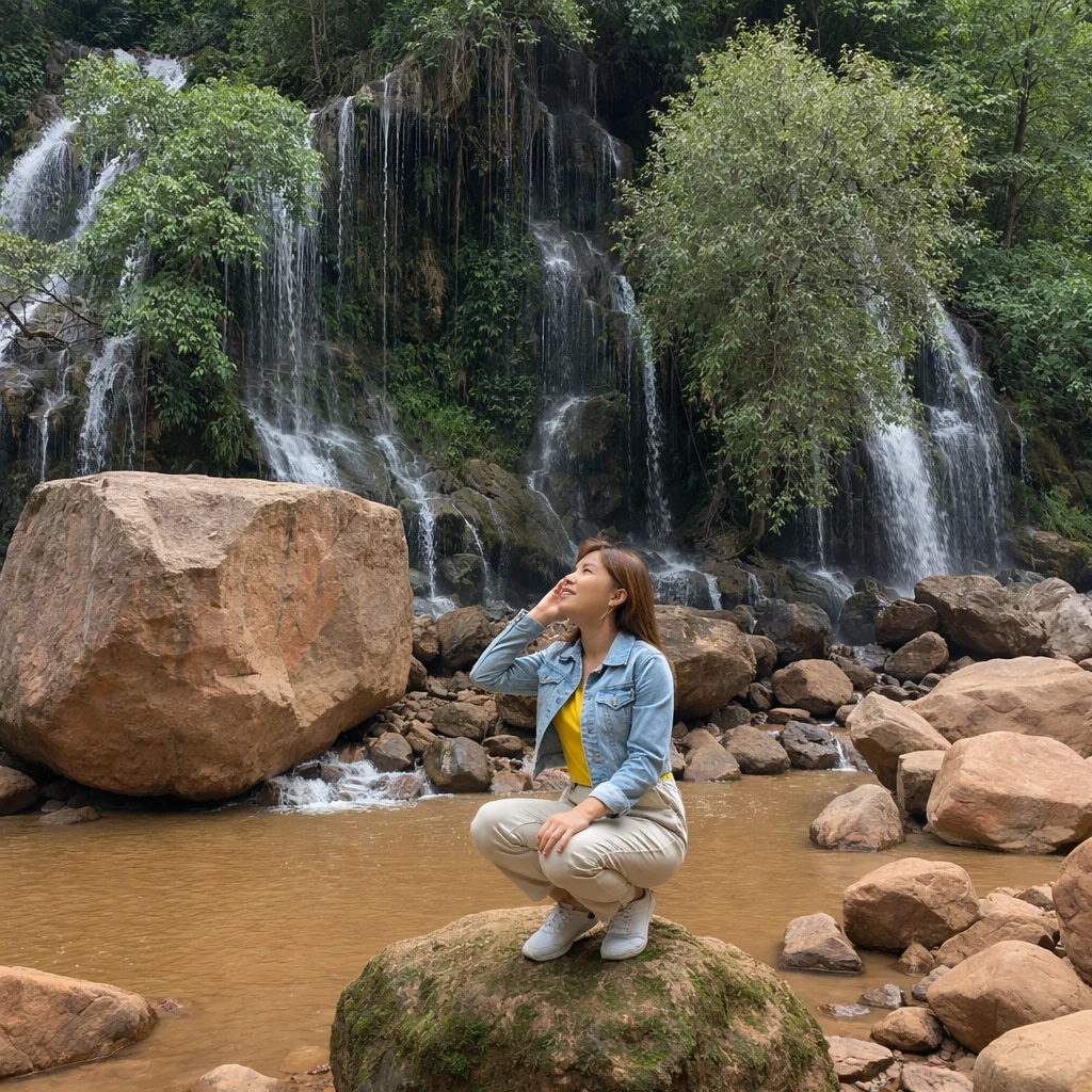
Torotoro Canyon and El Vergel
The Torotoro Canyon is located 4 kilometers from the town; during the hike through this canyon, you can appreciate dinosaur footprints and geological formations. Descending the stone steps of the Canyon leads to El Vergel, a microclimate where visitors can take a bath in the river of crystal-clear waters and observe the subtropical vegetation of the area. During the hike, it is possible to observe red-fronted parrots and condors.
Tripadvisor
