
Travel Information for Visiting the Eduardo Avaroa Reserve
About the Eduardo Avaroa Reserve
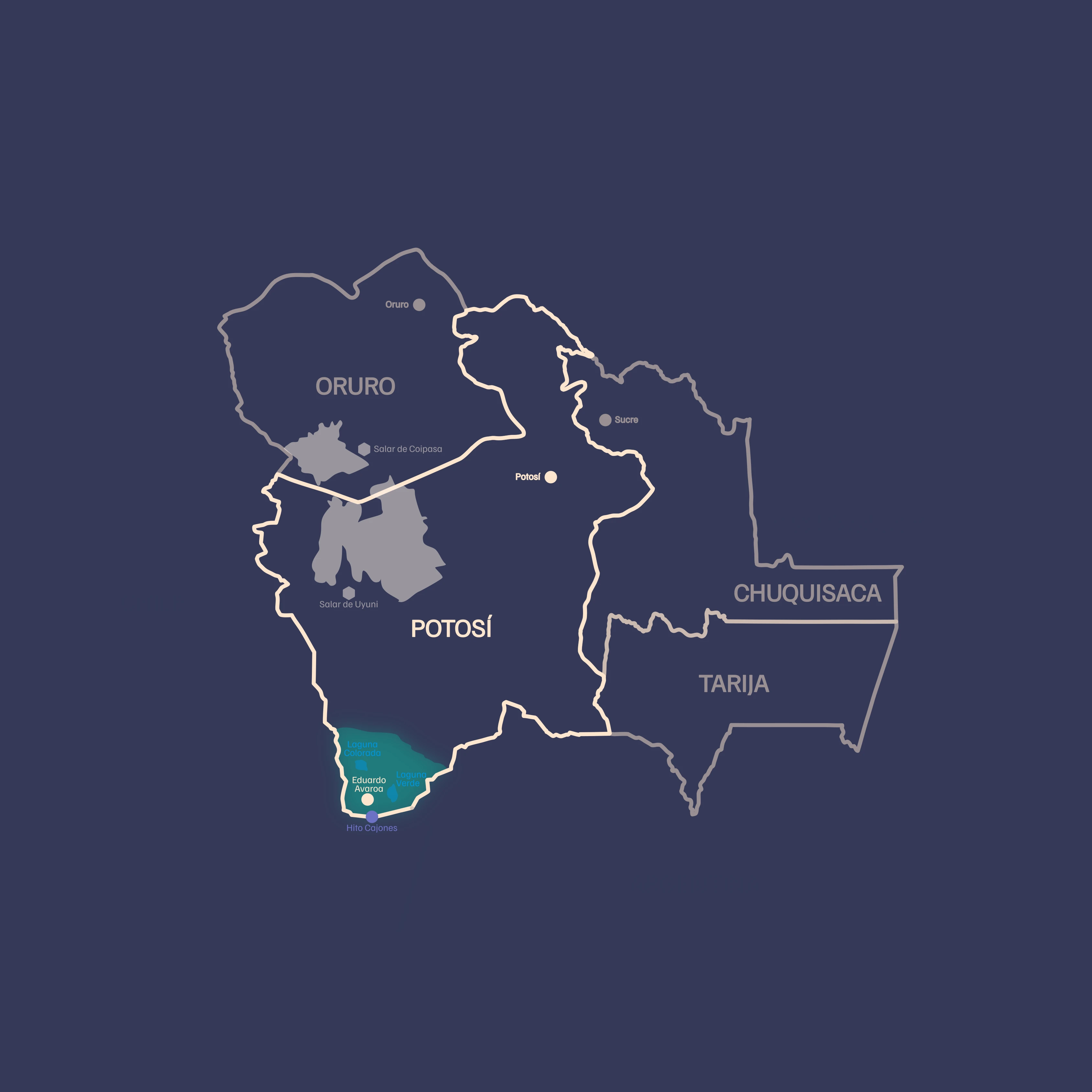
The Eduardo Avaroa Reserve is located in the Sud Lípez province of the Potosí Department and forms part of the Salar de Uyuni and the Colored Lagoons circuit; it borders to the northwest with the headwaters of the Silala or Siloli River, along the Bolivia‑Chile border line. The boundary continues from north to east up to the town of Quetena Chico or Barrancas; to the south it borders the Republics of Chile and Argentina, and to the west the Republic of Chile; the nearest Chilean city to the Hito Cajón border is San Pedro de Atacama.
The Eduardo Avaroa Andean Fauna Reserve, although not large in biodiversity, has a high degree of specialization and adaptation to the prevailing conditions of its unique high‑Andean ecosystem, which does not exist in other protected areas, such as salt lagoons, peatlands with particular characteristics, deserts and others. Evidence of this includes the large populations of vicuñas, in terms of fauna, and yaretas, in terms of flora.
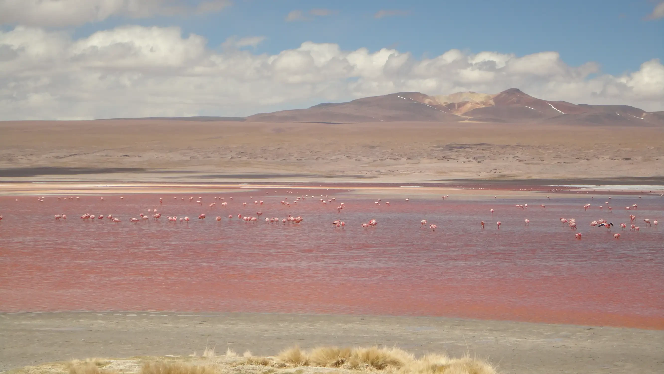
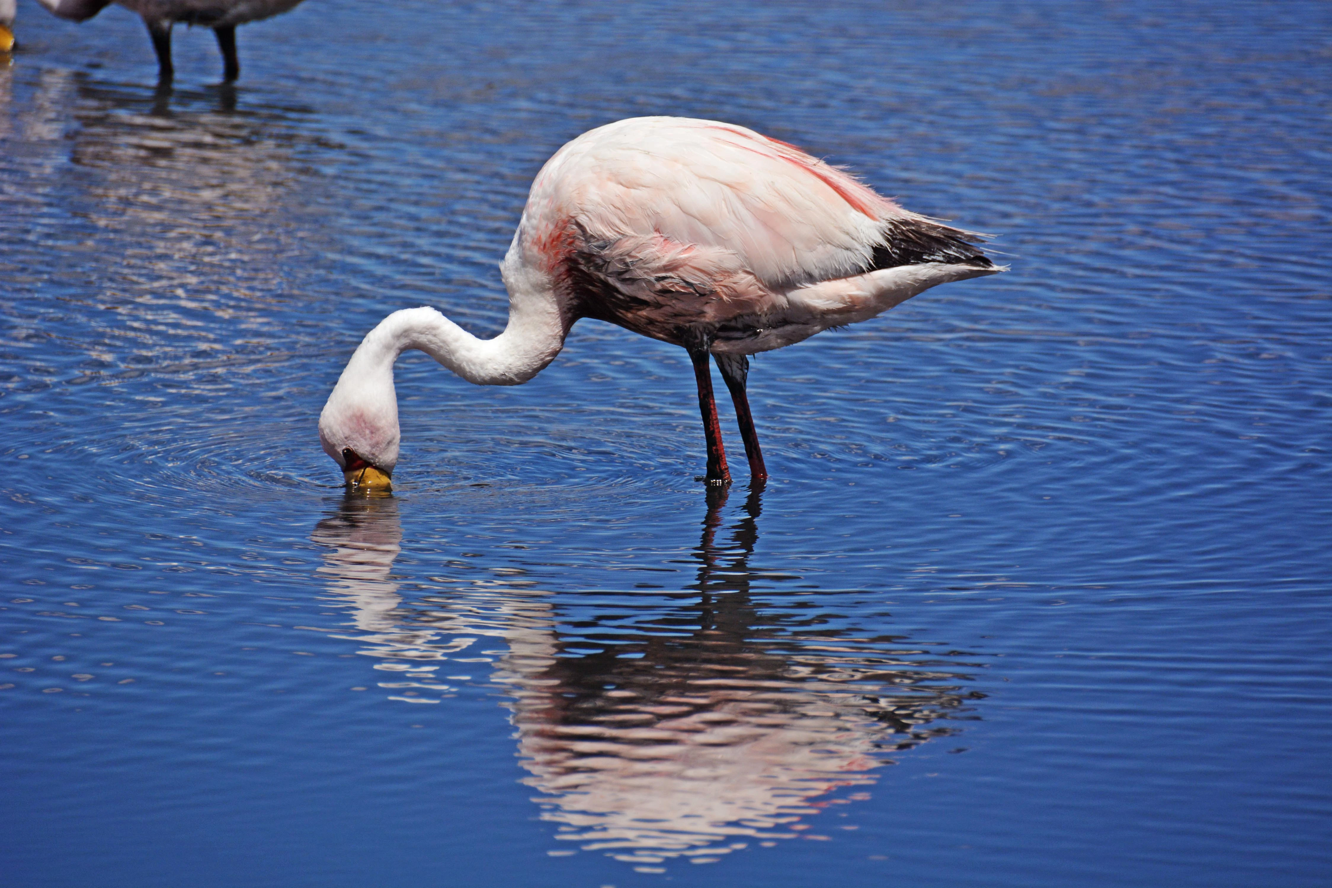
It is an almost desert region; wetlands such as lagoons and peatlands constitute oases that concentrate and sustain diverse manifestations of local and regional biodiversity and are first‑class natural assets, such as flamingos in their various species.
Tourist Attractions
Data
Extension
It covers an area of 714,745 ha (7,147 km²).
Location
It is located at the southernmost tip of the Potosí Department, in the Sud Lípez Province, in the municipality of San Pablo de Lípez. The area borders to the south with the Republic of Argentina and to the west with the Republic of Chile.
Biogeographical Subregions, Altitudinal Range and Climate
Puna subregion, where the climate is very cold and dry, with annual precipitation below 100 mm. The altitudinal range varies between 4,200 and 6,000 m a.s.l.
How to Get to the Eduardo Avaroa Reserve?
You can enter the Area from Uyuni, crossing the Salar de Uyuni. To reach this city you can take the train that departs from Oruro towards Villazón or the buses that leave daily from this city. It is also possible to take daily buses from Potosí. Another option is to enter with your own vehicle from Tupiza or use the daily transport service to Laguna Verde from the Chilean city of San Pedro de Atacama.
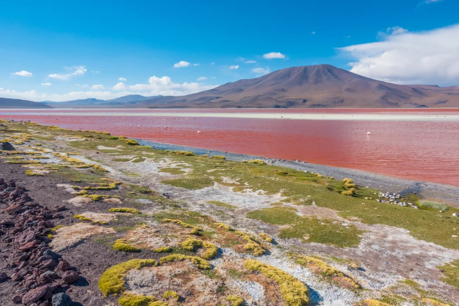
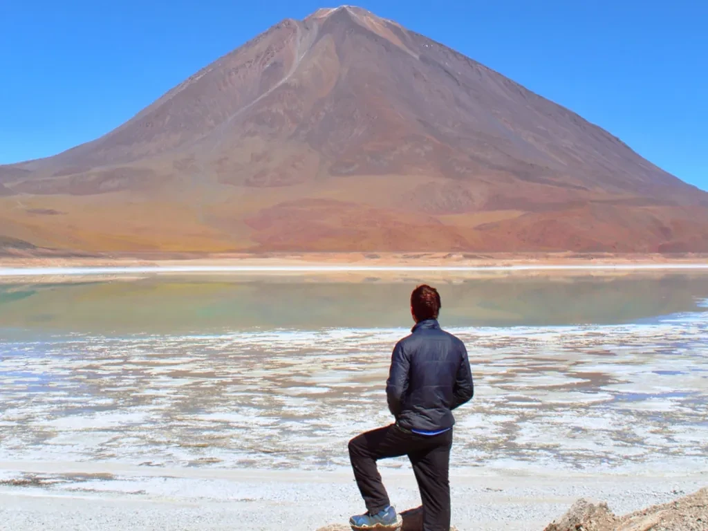
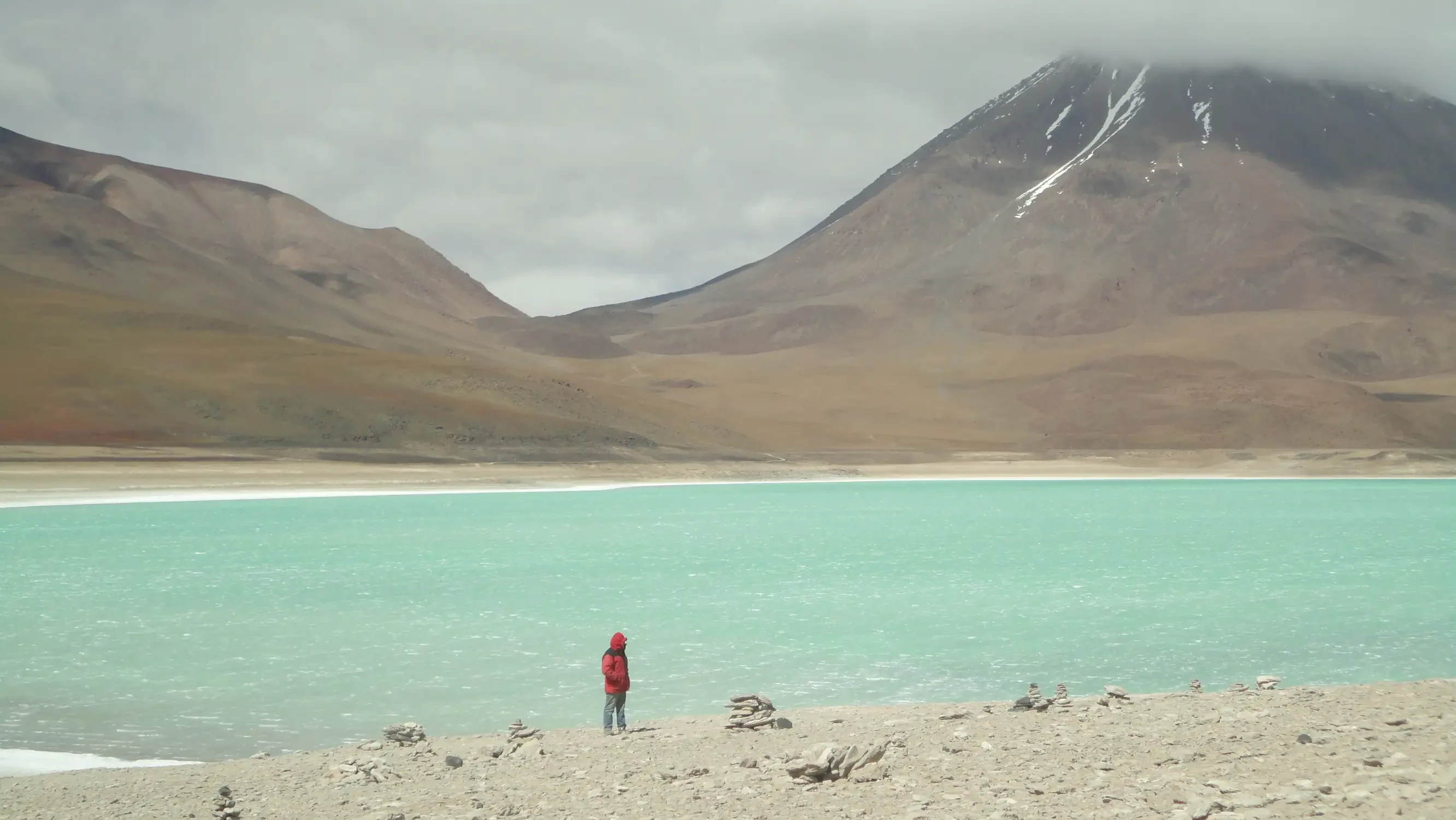
Colored Lagoons
The Laguna Colorada and Laguna Verde are almost emblematic elements of the region; however, there are many others of enormous importance. The case of Laguna Totoral can be almost unique due to the high number of species it shelters, not only in the wetland but also in its surrounding areas, considering that it is a small lagoon in terms of surface area.
Other lagoons such as Turquiri, Katalcito, Kalina, Loro Mayu, Hedionda, Mama Khuru, Kastor, or Celeste are of enormous value from an ecological, scientific, and scenic point of view. Some of these, such as the last three mentioned, are located in the area of influence within the potential expansion area of the Reserve.
Management Category: Andean Fauna National Reserve, equivalent to a National Wildlife Reserve.
Wildlife
For the REA, 96 fauna species are registered. Notable species that are strongly threatened include the vicuña, the Andean cat or titi, the suri (Pterocnemia pennata), the chocka (Fulica gigantea), and the three species of flamingos (Phoenicoparrus andinus, Phoenicoparrus jamesi, and Phoenicopterus chilensis) that nest in enormous colonies.
Vegetation and Flora
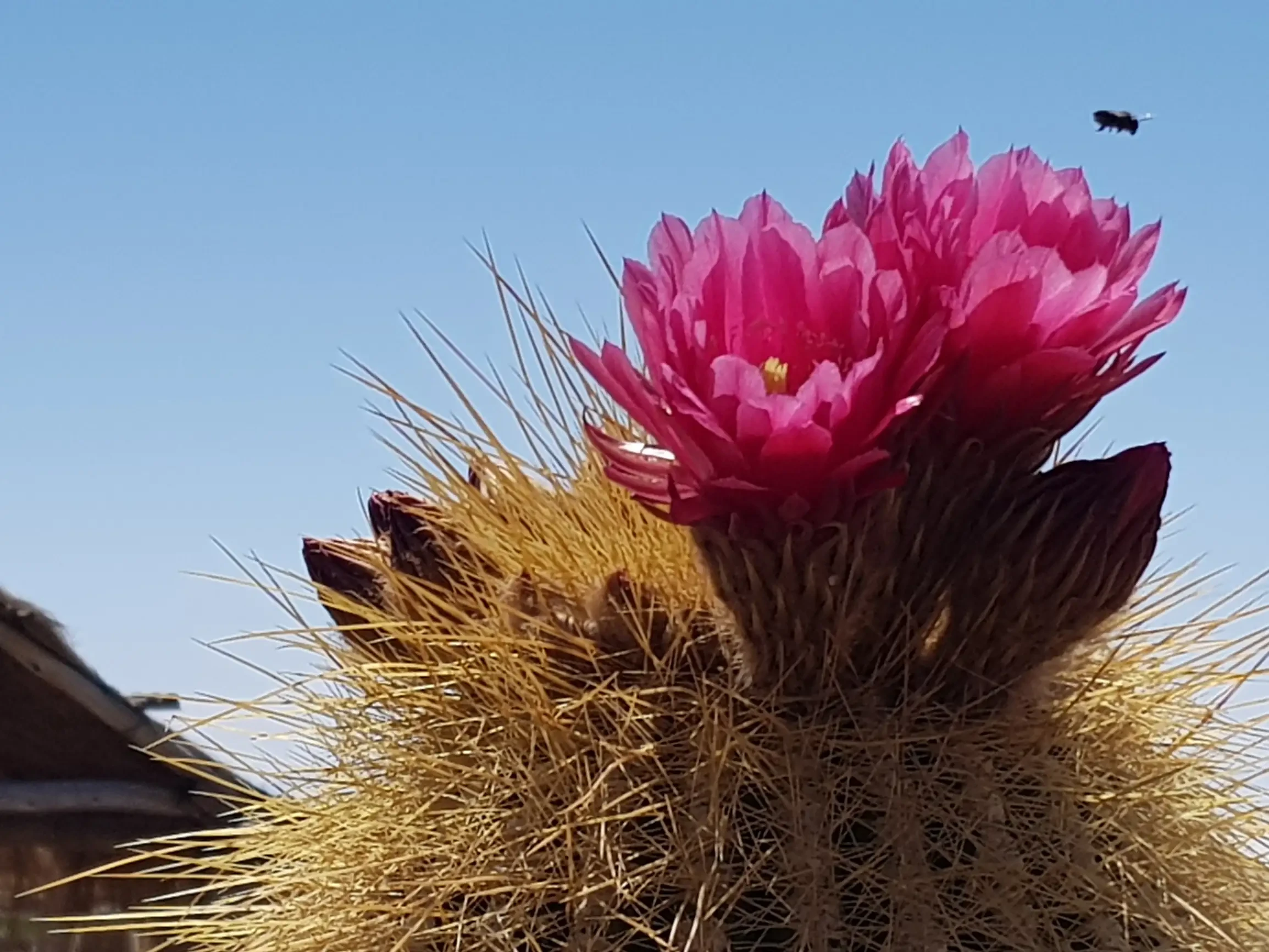
102 plant species have been recorded, and the existence of approximately 200 higher plant species is estimated. Ecologically, it is characterized by extensive frozen deserts and the semi-desert High Andean Grassland. There are glacial-origin salt lagoons, peatlands, and bogs. The vegetation is notable for patches of yareta (Azorella compacta) and small groves of queñua (Polylepis tarapacana), currently threatened species. The soil salinity conditions in many areas determine the presence of vegetation resistant to these conditions, with very low grass species.
Local Population
The REA occupies nearly 40% of the territory of the San Pablo de Lípez municipality. The southern region of this municipality, where the Reserve is located, practically has no inhabitants. Inside the REA, the total population is estimated at fewer than 50 families (around 250 inhabitants) of Aymara origin, concentrated in a few settlements and ranches such as Quetena Grande, Chasquilla, Juntucha, Carcanis, Khastor, and Lachitas. The Eduardo Avaroa Reserve is located about 300 km south of the city of Uyuni (11,372 inhabitants), to which it is connected by two important routes: one via the Salar de Uyuni and the community of San Juan, and another via Uyuni – Culpina – Zoniquera – Quetena and Laguna Colorada.
Recommendations
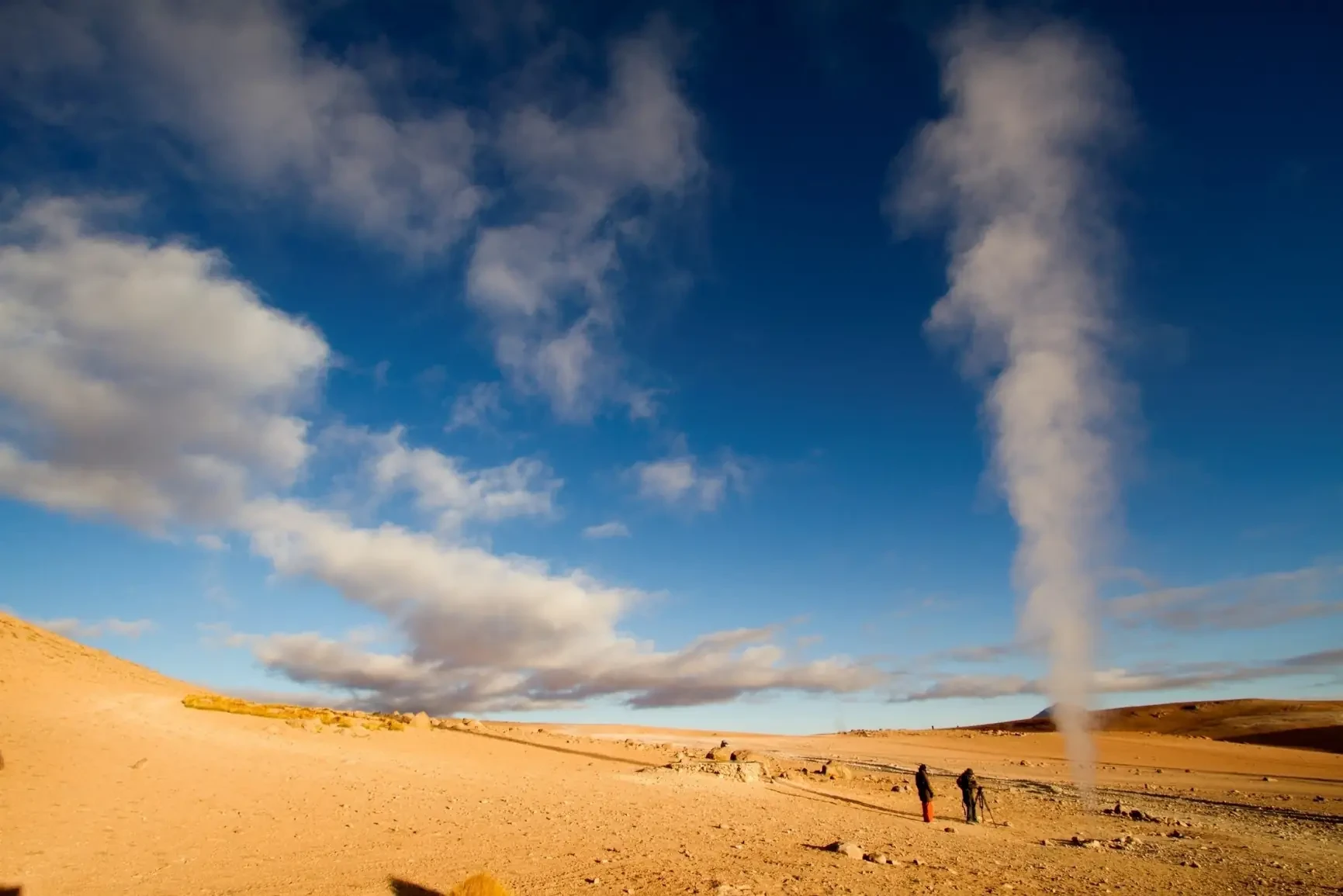
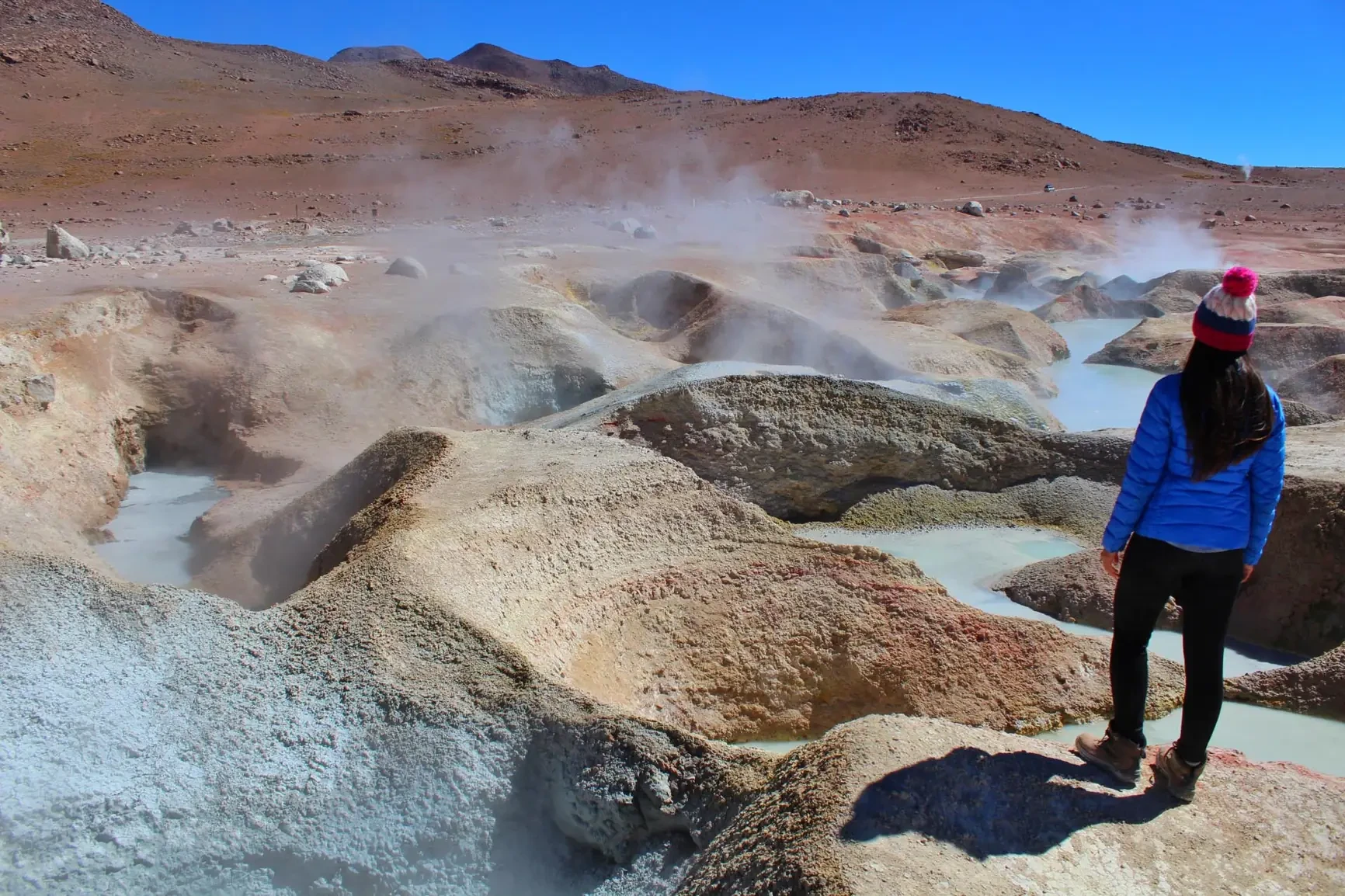
Visit the area especially in November due to the numerous presence of different bird species (including flamingos) as well as more favorable weather conditions. Do not stay too long at "Sol de Mañana" because the gases emitted from the geysers, fumaroles, and volcanic vents can cause dizziness and nausea. Use warm clothing, sunscreen, sunglasses, and binoculars.
Tripadvisor
